Description
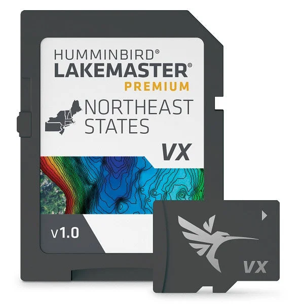
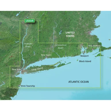
Navigate with absolute confidence and locate productive fishing structures faster using this High-Resolution Marine Cartography Card engineered for the Northeast US region. This premium map card delivers ultra-fast rendering speeds, sharp detailing, and advanced 2D shaded relief to make bottom contours and depth changes immediately visible. Packed with high-definition aerial imagery overlays, it allows you to identify boat ramps, marinas, and shallow-water hazards on your fish finder screen. Features include dynamic water level offset tracking to match shifting water lines, customizable depth highlights, and integration capability to automatically follow depth contours.
Ideal Applications
-
Northeast Lake Navigation
-
Structure and Bottom Contour Scouting
-
Shallow Water Hazard Avoidance
Reviews
There are no reviews yet.